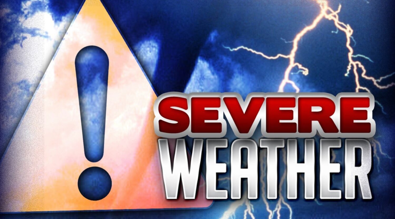
The National Weather Service issued a warning that Central Florida will be hit by a severe storm this (Tuesday) afternoon and into the evening. This storm is expected to bring strong winds, with gusts of up to 60 mph, along with almost an inch of rain and the potential for tornadoes. Apopka residents are advised to take all necessary precautions to stay safe during this dangerous weather event.
"Another strong cold front is forecast to move through the area on Tuesday," the NWS said in a statement. "Confidence in both the timing and potential for strong to severe thunderstorms with this system continues to increase. A band of strong to severe storms capable of producing damaging wind gusts and the potential for a few tornadoes is forecast to move rapidly across the peninsula late Tuesday afternoon and evening."
Duke Energy is monitoring and preparing for a severe weather system expected to move through Florida on Tuesday, which may cause widespread power outages.
“Forecasts show the potential for strong, gusty winds and severe storms throughout many parts of Duke Energy Florida’s service territory,” said Todd Fountain, Duke Energy Florida storm director. "Our crews are prepared to restore power as safely and quickly as possible. We urge customers to follow the instructions of Florida emergency management officials and have a plan in place in case they experience an extended outage.”
Below are some tips to help customers be ready:
Have a plan in place for what you will do if you lose power. Keep a storm emergency supply kit handy. A typical kit might include medicines, water, nonperishable foods, and other supplies that might be hard to find after a storm hits.
Maintain a plan to move family members – especially those with special needs – to a safe, alternative location in case an extended power outage occurs.
Charge cellphones, computers, and other electronic devices in advance of storms to stay connected to important safety and response information. Consider purchasing portable chargers and make sure they are fully charged as well.
Keep a portable radio, TV, or NOAA weather radio on hand to monitor weather forecasts and important information from state and local officials.
Stay away from power lines that have fallen or are sagging. Consider all lines energized, as well as trees, limbs, or anything in contact with lines.
If a power line falls across a car that you are in, stay in the car. If you MUST get out of the car due to a fire or other life-threatening situation, do your best to jump out of the car and land on both feet. Be sure that no part of your body touches the car when your feet touch the ground.
If you are driving and come across a utility crew working along the road to repair power, move over or slow down to keep the crew and yourself safe.
After a storm hits, restoring power as safely and quickly as possible is our top priority while keeping our customers informed. Customers who experience an outage during a storm can report it in the following ways:
Visit the Storm Center to learn how to remain safe during all phases of a storm, including info on how Duke Energy restores power. Follow the instructions and warnings of emergency management officials in your area.


Comments
No comments on this item Please log in to comment by clicking here