From the St. John's River Water Management District
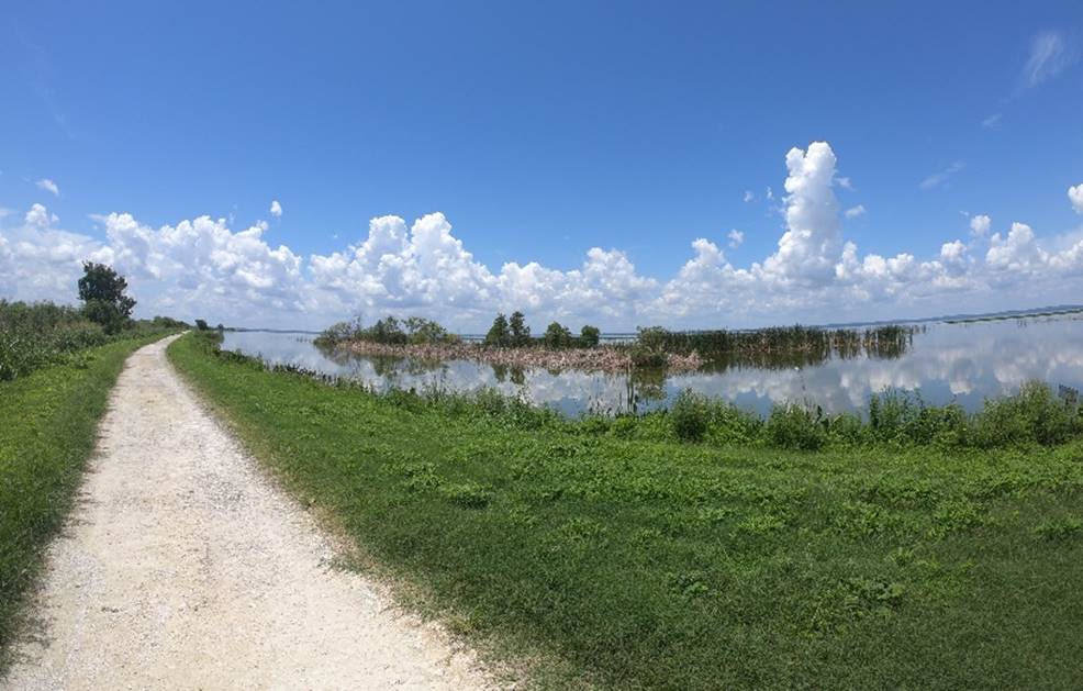
Portions of recreational trails at the St. Johns River Water Management District’s Lake Apopka North Shore will close as work to reconstruct about 4.4 miles of levee begins March 4. This levee not only serves as a separator between Lake Apopka and the North Shore but is also part of the district’s recreational Lake Apopka Loop Trail.
The entire levee improvement project spans the east side of the Lake Apopka North Shore, between Magnolia Park and Laughlin Road, and will increase the levee’s elevation by about 18 inches. The project will be completed in two phases:
An additional levee improvement project will begin in April along the lakeside section of the Lake Apopka Loop Trail, west of Laughlin Road turning north onto Lake Levee Canal Road but will not require any trail closures. Levee improvements are also planned for the west portion of the Lake Apopka Loop Trail between the Clay Island and North Shore trailheads.
While a breach in the lakeside levee caused by Hurricane Irma in 2017 was quickly repaired, it highlighted the need to reconstruct the remaining portions of the levee to protect ongoing restoration work from future storm events.
Additional updates will be provided as work continues. Maps and information about any recreational closures and detours will be shared online at www.sjrwmd.com/recreation.


Comments
No comments on this item Please log in to comment by clicking here